
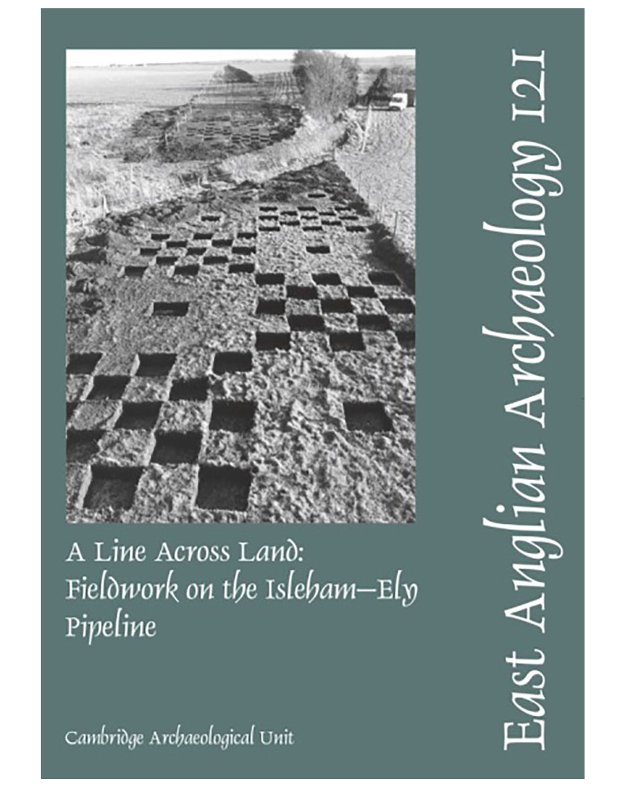
EAA 121, 2007: A Line Across Land: Fieldwork on the Isleham–Ely Pipeline
K. Gdaniec, M. Edmonds and P. Wiltshire
£12.00£4.95
Download from ADS | Buy from Script Books
Construction of a water supply pipeline in Cambridgeshire provided an opportunity to sample the prehistoric landscape along a transect that crossed several major geological boundaries. This narrow window ran from the Lower Chalk of the ancient peninsula of Isleham, across the heavy low-lying clays of Soham and down into the peat fen of Stuntney and south-east Ely. Within the constraints set by the development, field investigation and subsequent analysis were conducted at several scales. In the initial stage, attention focused on predicted occupation areas (principally at the fen margins), while the intervening landscape — between these areas and known sites — was sampled. Along with palaeoenvironmental data, samples of flint, burnt flint and other materials provided a context within which to explore specific models for interpreting the character of later prehistoric landscape occupation across a diverse set of conditions.
As a consequence of landscape sampling, six significant site areas were designated for archaeological investigation. These were located at the neck of the sand and chalk peninsula of Isleham, extending down its gradually sloping western edge towards the braided palaeochannels of the River Snail. This occupation-rich zone on the chalk contrasted sharply with areas of the fen that showed little evidence of early occupation where crossed by the pipeline. Two of these sites saw more extensive fieldwork funded by English Heritage, and these form the main body of the report.
These different scales and intensities of work in the field are reflected in the structure of the report. The extensive survey and evaluation is dealt with in Chapter 2 and provides a full record of work conducted along the length of the pipeline corridor. Chapter 3 documents the more limited investigations conducted at four of the site areas identified in stage 1. The core of the volume lies in Chapters 4 and 5, which deal with the more substantive records arising from work at Prickwillow Road and around the palaeochannels of the River Snail. Dominated by Early Bronze Age and Earlier Neolithic material respectively, these ‘sites’ add a significant body of information to our understanding of the later prehistoric sequence in the area, data which are set in broader context in Chapter 6.
Reviewed online by Matt Lievers for the Prehistoric Society, November 2008.
Full reference:
Gdaniec, K., Edmonds, M. and Wiltshire, P., 2007, A Line Across Land: Fieldwork on the Isleham–Ely Pipeline, East Anglian Archaeology 121
A4, 106pp, 40fig, 11pls
ISBN 978 0 9544824 5 9
Contact us
East Anglian Archaeology is an externally-funded project hosted by Norfolk County Council, based within the Historic Environment Service.
East Anglian Archaeology, Norfolk Historic Environment Service, Norfolk County Council, County Hall, Martineau Lane, Norwich NR1 2DH
Email: EAA Managing Editor
Download books
Books older than one year are generally available for download by visiting the relevant page on this website, or direct from the Archaeology Data Service.
Order online
Books still in print are available to buy as hard copies from Script Books.